If it wasn’t for those bosky kids


3rd November 1914

The Dorsets spent the day being shelled in the woods, but at 4pm were gathered together and ordered to relieve the 2nd Battalion Royal Inniskilling Fusiliers, who had scratched out some very basic trenches in the recent fighting. The History of the Dorsetshire Regiment 1914-1919 lists them as the 1st Battalion Royal Irish Fusiliers. I’ve just looked at the 11th Brigade war diary and it uses the abbreviation of “innis fus” so it looks like the War Diary is correct. Whoever they were, the relief was completed by 6pm. The rest of the night was quiet.


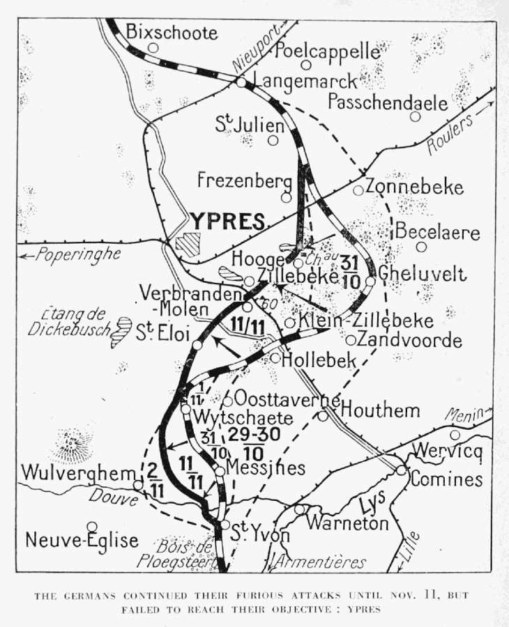
The Dorsets found themselves at the junction between what became known as two separate battles; the Battle of Armentières was dying away to the south and the Battle of Messines was now raging away just to the north. Ploegsteert Wood was a natural barrier between the two battles but the Germans were still pushing very hard to take it.

The map today is a bit of a leap of faith and I would be most grateful for more information if anyone has any. Since the 15th Brigade has been practically broken up after leaving La Bassée, there’s a paucity of information available. Gleichen’s memoirs have been very useful so far. I’ve located the Dorsets along a north westerly line running from the Messines-Ploegsteert road (Mesen on the Google map) to the River Douve, with Frank halfway along that line entrenched somewhere in a field. The line at this point is clearly marked on the Michelin illustrated guide to the battlefields (1914-1918) Ypres and the Battles of Ypres as bending around the north of Ploegsteert Wood (on the map just left of St Yvon).

Map of the Messines front
The Messines front during November 1914


Plugging the gap


2nd November 1914

Ploegsteert Wood. later anglicised to Plugstreet, is a large wood between Armentières in the south and Messines in the north. It held some strategic value in enclosing Hill 63, a rare high point which offered the British a toehold in targeting the Messines ridge to the north which had just fallen to the enemy.

On the morning of the 2nd November 1914, the British 4th Division held a thin twelve miles of front including a line of three villages along the eastern edge of the woods: La Gheer, Le Péverin and St Yves. The Germans were attacking all along the line from here to Ypres in the north. Their overwhelming superiority of both numbers and firepower was destroying the cream of the British Army. There were only so many last gasp charges the BEF could make.

At 2pm the Dorsets moved into position on a road junction along from the Petit Pont. They then withdrew westwards 2 hours later to cook a meal. At 6pm A Company moved into prepared trenches, further east into the wood. B and D Companies, meanwhile, began to dig trenches along the line of the Ploegsteert – Messines Road, south of a château, which I think was probably Chateau du Mont de la Hutte. It’s now ruins. Without the 1914 map referenced by the Dorsets’ war diary, it’s impossible to know exactly where they were but I’ve marked the rough locations for now.

There’s a 1915 sketch of the château available on the Imperial War Museum reproduced below.

Chateau de la Hutte between Messines and Ploegsteert; The Forward Estaminet, Messines Road
Chateau de la Hutte between Messines and Ploegsteert; The Forward Estaminet, Messines Road© IWM (Art.IWM ART 4802)